Land cover refers to the vegetation or material that covers a specific area. For renewable energy projects, it is important to understand an area’s land cover to assess the suitability of a site and mitigate potential environmental impacts.
In Transect, this information is derived from the National Land Cover Database (NLCD) and provides nationwide data on land cover and land cover change at a 30m resolution and is classified by the Anderson Level II system.
In this article, we’ll review how to:
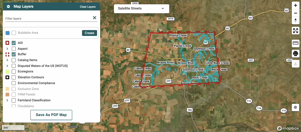
Viewing Land Cover in the Map
Within the Map, you can use the Parcel Filter to apply Buildable Area constraints to remove certain types of land cover from your search. This can be used to remove medium and high intensity areas or tree cover.

See below for a breakdown of each definition:
- Developed/Low Intensity: Areas with a mixture of constructed materials and vegetation. Impervious surfaces account for 20% to 49% percent of total cover. These areas most commonly include single-family housing units.
- Developed/Medium Intensity: Areas with a mixture of constructed materials and vegetation. Impervious surfaces account for 50% to 79% of the total cover. These areas most commonly include single-family housing units.
- Developed/High Intensity: Highly developed areas where people reside or work in high numbers. Examples include apartment complexes, row houses and commercial/industrial. Impervious surfaces account for 80% to 100% of the total cover.
Viewing Land Cover Data in a Report
After running a Report, you can apply the Land Cover layer to visualize the data associated with your area of interest.
You can also navigate to Location Data > Land Cover for a full breakdown of your area’s findings. Within the data table, you can select a specific land cover type to visualize it on the Map.

A note from our Environmental Specialists: Land cover types under "Name" (cultivated crops, Grassland/herbaceous) can help you to further narrow down your ideal site. By avoiding certain land cover types preferred by threatened and endangered species present in your AOI, you could potentially avoid impacts to those species and delays in the permitting process.