The Ghost Waters® layer represents the likely extent of ephemeral drainage features across the landscape. Building upon mapped perennial and intermittent streams, the layer extrapolates drainage patterns into areas where flow occurs only in direct response to precipitation events and extends existing mapped water features to depict probable ephemeral channels and flow paths that may not be captured in traditional hydrographic datasets.

In this article, we’ll review:
- What are Ghost Waters®?
- The Impact of Ghost Waters® on Land Development
- How to Identify Ghost Waters® in Transect
What are Ghost Waters®?
Ghost Waters®, also known as ephemeral streams, are temporary water features that only flow in direct response to precipitation events. These waters flow downstream and can carry sediment and other matter, which can severely disrupt water quality. Because of this, land developers will need to identify these waters to comply with regulations and avoid environmental penalties.
These waters are typically located in arid or semi-arid regions, such as Arizona or New Mexico. Ghost Waters® differ from perennial streams due to their temporary nature, whereas perennial streams are considered “permanent.” Because of this, the majority of these streams are unmapped in federal datasets, such as the National Wetlands Inventory and National Hydrography Dataset. Transect’s proprietary algorithm predicts the locations of these waters, making it easier for a developer to understand the land available for use.
The Impact of Ghost Waters® on Land Development
Ghost Waters® impact various elements, including the environment, renewable energy projects, and the local community.
Environmental Impact
Ghost Waters® are subject to strict environmental regulations. Renewable energy projects can disrupt these ephemeral waterways, which can result in significant legal and financial repercussions, harm to delicate ecosystems, and degradation of water quality.
Renewable Energy Project Impact
It’s crucial to identify Ghost Waters® when selecting suitable project sites because they can increase the risk of flooding, erosion, and damage to equipment. This can lead to the need for implementation measures, such as erosion control, water monitoring, and habitat restoration.
Community Impact
Ghost Waters® can damage a project's reputation and lead to community opposition if mismanaged, while also increasing permitting challenges due to potential impacts on sensitive environmental areas.
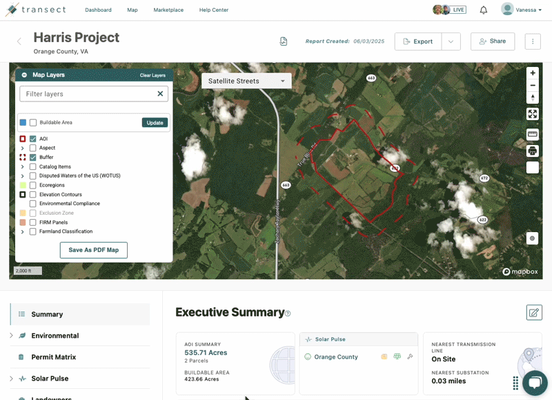
How to Identify Ghost Waters® in Transect
After running a Transect Report, the Ghost Waters® layer will appear if they are found within your project area. To access this layer, check the box next to the Ghost Waters® layer. A pop-up will confirm the information in the dataset, click Turn Layer On to accept.
You can also add the Ghost Waters® layer to your PDF export by creating a custom PDF map. Check out this article for more information.