
Karst landscapes are geological formations known for distinctive features like sinkholes, caves, disappearing streams, and springs. Transect helps you navigate the challenges these formations present by surfacing key information about karst within your project area.
In this article, we’ll cover:
Why Karst Matters
Karst landscapes play a vital environmental role:
- Water Resources: Karst aquifers store and transmit vast quantities of freshwater, supplying drinking water to millions of people worldwide.
- Ground Stability: Sinkholes and underground voids can compromise ground stability, making it essential to assess soil and rock conditions before construction begins.
- Biodiversity: These distinctive ecosystems support diverse plant and animal life, some found nowhere else on Earth.
- Cultural Significance: Many cultures hold deep connections to karst landscapes, relying on caves and springs for spiritual and historical practices.
Developing renewable energy projects responsibly means accounting for these factors and minimizing impacts on karst environments.
Viewing Karst in the Map
Use the Karst Layer to identify potential impacts within your project area or get a clearer picture of the local karst landscape. The following layer offers a preliminary snapshot of an area's soil data:
- Karst in the United States
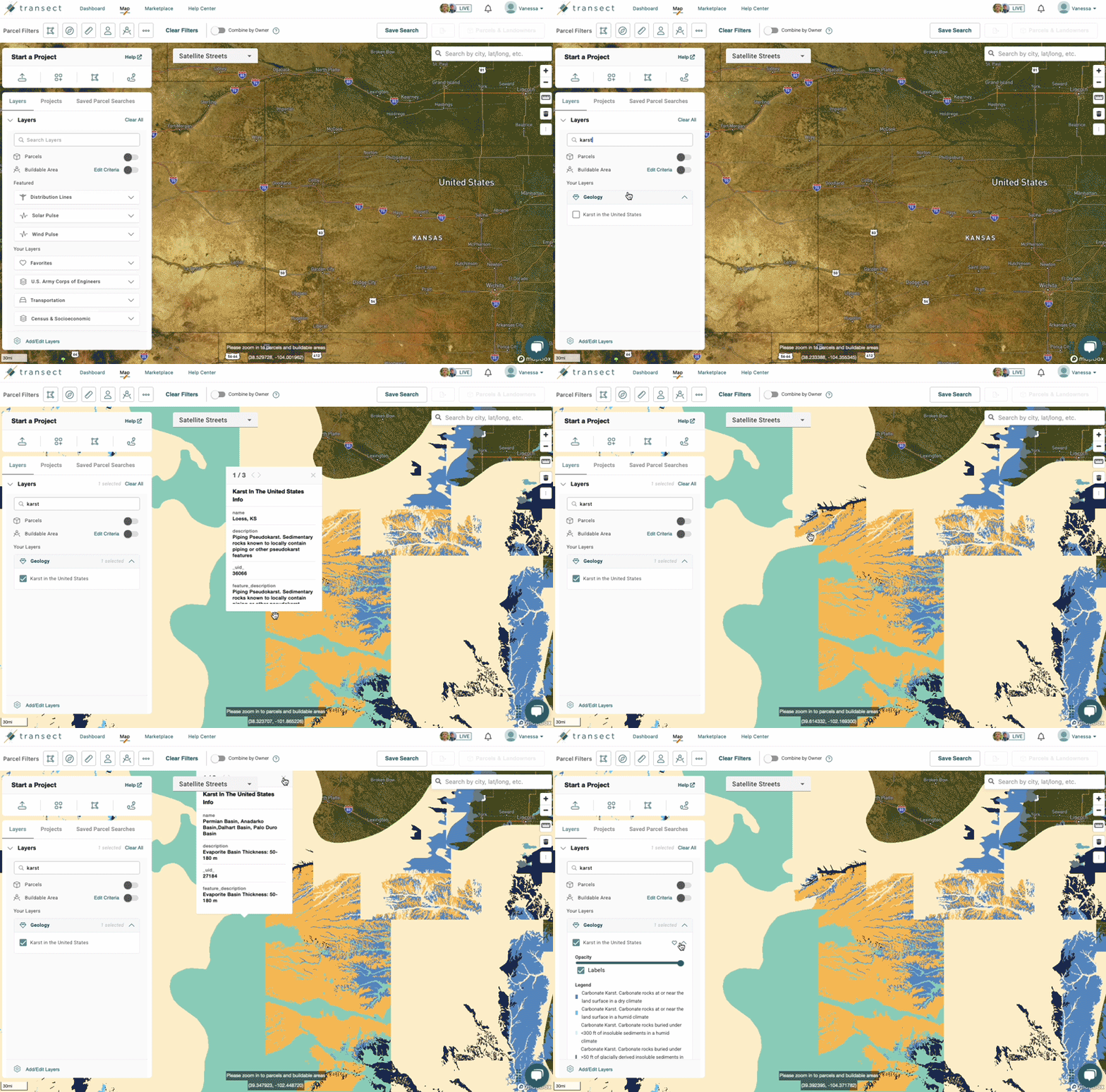
Selecting the Karst layer and clicking the dropdown will populate a legend describing what's shown. The layer's colormap uses the following colors:


Viewing Karst in a Report
The Report Map sits at the top of the Executive Summary, letting you apply layers to visualize specific aspects of your Area of Interest. Once a report has run, toggle the Karst layer to see findings within your AOI.
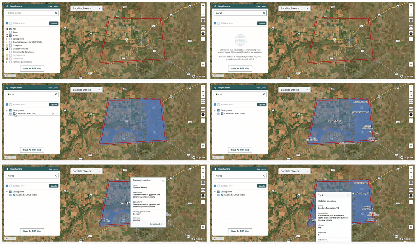
For a full breakdown of your area's findings, navigate to Location Data > Catalog. From there, filter the data table to show Karst, then click any column to visualize it on the map.
