Need to modify your project’s boundary? We’ve got you covered with Transect's new AOI editing feature, where you can add and remove parcels, or adjust your polygon shape. This allows you to precisely define and refine project areas directly on the map and within reports.
In this article, we’ll review how to:
Adding and Removing Parcels
In the Map

- Navigate to the Map from the top navigation bar.
- In the “Layers” modal on the left side of the Map, select the Projects tab.
- Check the box next to the project or report you’d like to edit.
- When the side-modal populates on the right, select Edit Selection in the lower right corner.
- Next, choose Add/Remove to select/de-select entire parcels within a 1 mile buffer of the project area.
- Select or deselect parcels in the map to include or exclude them from your project area. Included parcels are shown in green and excluded parcels will be shown in red.
- Alternatively, in the “Include” column of the Parcels & Landowners table, check the box next to parcels that should be part of the project area.
- If you’re adding or removing parcels for a project you have not yet run a report on, continue with these steps:
- Select the Save dropdown to override your existing AOI, or Duplicate & Save to create a new one.
- If you select Duplicate & Save, a pop-out will appear confirming the project name with (V2), where you can make any necessary changes. This will preserve your original report for future reference.
- When finished, select Create Duplicate.
- If you’re adding or removing parcels from project that already has a report, continue with these steps:
- Select Duplicate & Save in the lower right corner, which will populate a pop-out confirming the project name with (V2), where you can make any necessary changes.
- When finished, select Save Duplicate.
In Reports
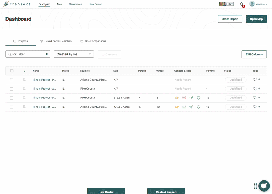
- From the Dashboard, open the Transect Report you’d like to edit.
- Select Landowners & Parcels from the left-side menu, then click Add/Remove Parcels.
- In the “Include” column, check the box next to parcels that should be part of the project area.
- Alternatively, you can add and remove parcels in the report map by selecting or de-selecting them. Included parcels will be shown in green and removed parcels will be shown in red. You will also be able to see and select parcels within a 1 mile buffer of the project area.
- After finalizing your selection, click Generate New Report.
- The existing report name will automatically populate with a “: V2” suffix or you can input a new report name. (Please note that the original report will remain unchanged.)
- When finished, select Order Report to start the report generation process.
Editing a Project Boundary’s Polygon
In the Map

- Navigate to the Map from the top navigation bar.
- In the “Layers” modal on the left side of the Map, select the Projects tab.
- Check the box next to the project or report you’d like to edit.
- When the side-modal populates on the right, select Edit Selection in the lower right corner.
- An orange boundary will appear around your area of interest, where you’ll drag and drop the polygon vectors to your preferred location.
- If you’re editing a polygon for a project without a report, continue with these steps:
- Select the Save dropdown and choose to either Save (override your existing AOI) or Duplicate & Save.
- If you select Duplicate & Save, a pop-out will appear confirming the project name with (V2), where you can make any necessary changes.
- When finished, select Save Duplicate.
- If you’re editing a polygon for a project that already has a report, continue with these steps:
- Select Duplicate & Save.
- A pop-out will appear confirming the project name with (V2), where you can make any necessary changes.
- When finished, select Save Duplicate.
Your new boundary will be saved as a project, where you can then opt to Run Report.
In Reports

- From the Dashboard, open the Transect Report you’d like to edit.
- In the upper right-corner, select the kebab menu (3 dots)
 > Edit Project Area.
 - A pop-out will appear confirming whether you’d like to Edit My Project Boundary or Add Or Remove Parcels, where you’ll select Edit My Project Boundary.
- If you select Add or Remove Parcels, follow the steps outlined above for adding and removing parcels in a report.
- An orange boundary will appear around your area of interest, where you’ll drag and drop the polygon vectors to your preferred location.
- Once you’re done editing the polygon, select Generate New Report in the upper right corner.
- A pop-out will appear confirming the project name with (V2), where you can make any necessary changes.
- When finished, select Order Report.